Sherman Pass. Known by all who traverse it as “The Pass.” As if it is the only Pass in Washington State, which it is not. But, at 5,575 feet, Sherman Pass is the highest maintained mountain Pass in Washington State. For those of us living here in Back of the Beyond, this is how we roll to get to well….just about anywhere! The road is listed as a National Scenic Byway and it twists and turns its way to the rock topped summit before winding its way down the other side. At that elevation, the weather at the top can be quite different than below and in winter temperatures in negative numbers are the norm.
Colville is the nearest town of any size to us and a giant metropolis it is not. But Walmart lives there as well as a Safeway and lots of other shopping options. It is 60 miles away and of course the only way to get there is to go over THE Pass. The road over Sherman Pass is a 2 lane State highway and there are 40 miles between Republic and sweet, little Kettle Falls, the small town at the other end of Sherman Pass. For Sparky and I, living where we do, it’s a 60 mile drive to Colville and we make the drive quite often.
The scenery is nothing short of stunning all year round, but winter and snow highlight the mountains and add definition to the ridges and valleys. This State road, Rt 20, cuts through the Colville National Forest and there are 100 miles of hiking trails meandering through the Pine forest with lots of Larch and Western Red Cedar too. It truly is a wilderness area and we have seen Moose, White Tail Deer and Black Bear plus smaller animals. For those who are curious, Sherman Pass is named for the great Civil War General ( good old burn and plunder his way through Georgia) William Tecumsah Sherman. But that was a long time ago and this is what the Pass looks like now in all its winter splendor!
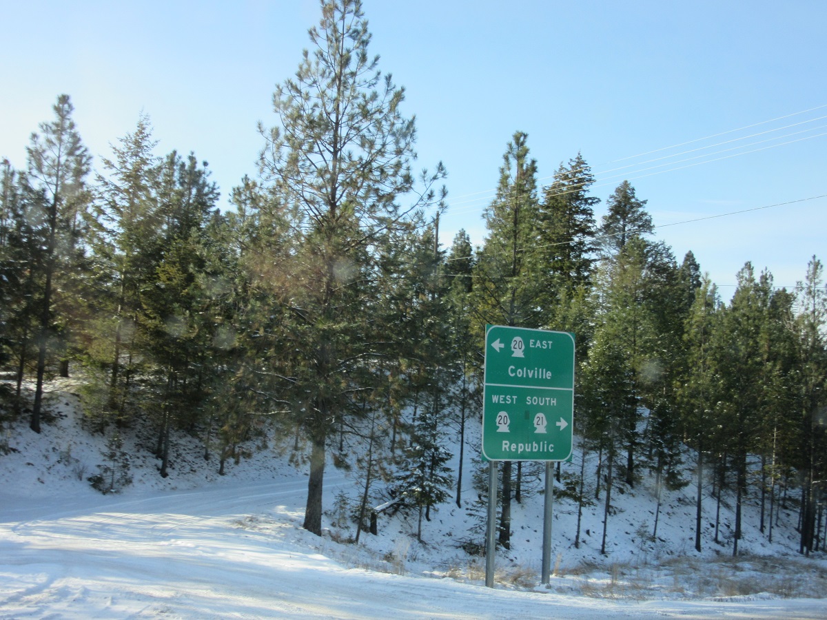
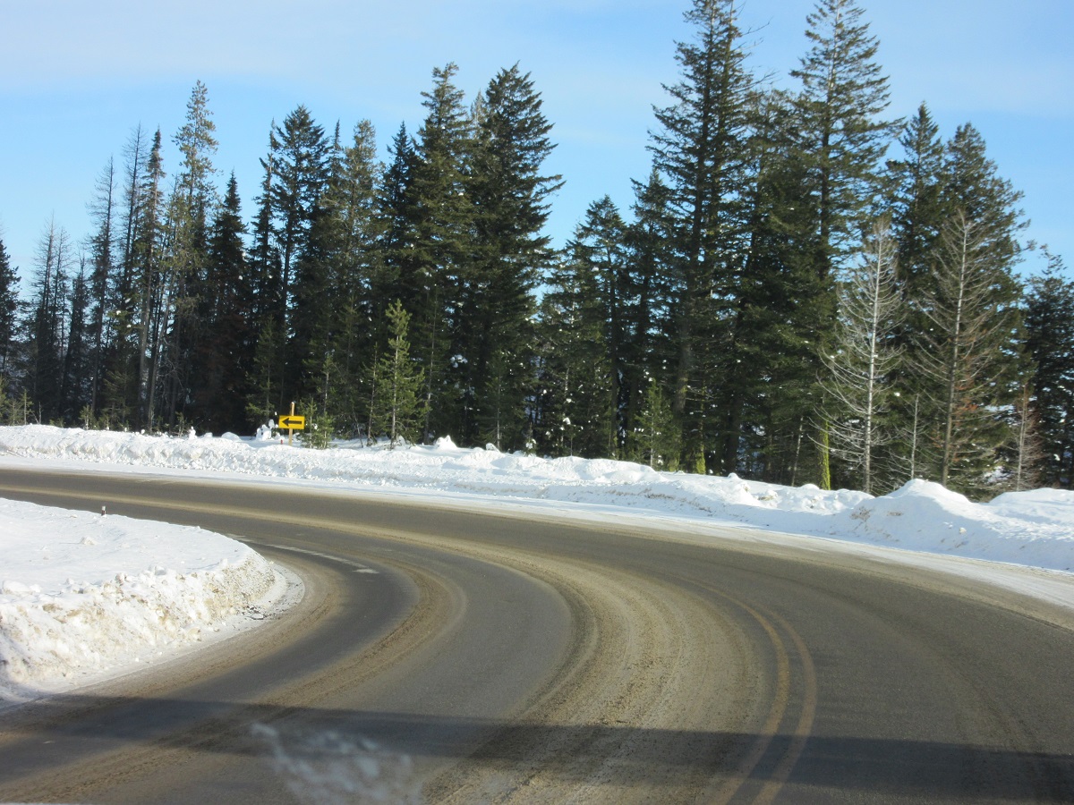
This is where we pick up Rt 20 to start our drive over the Pass
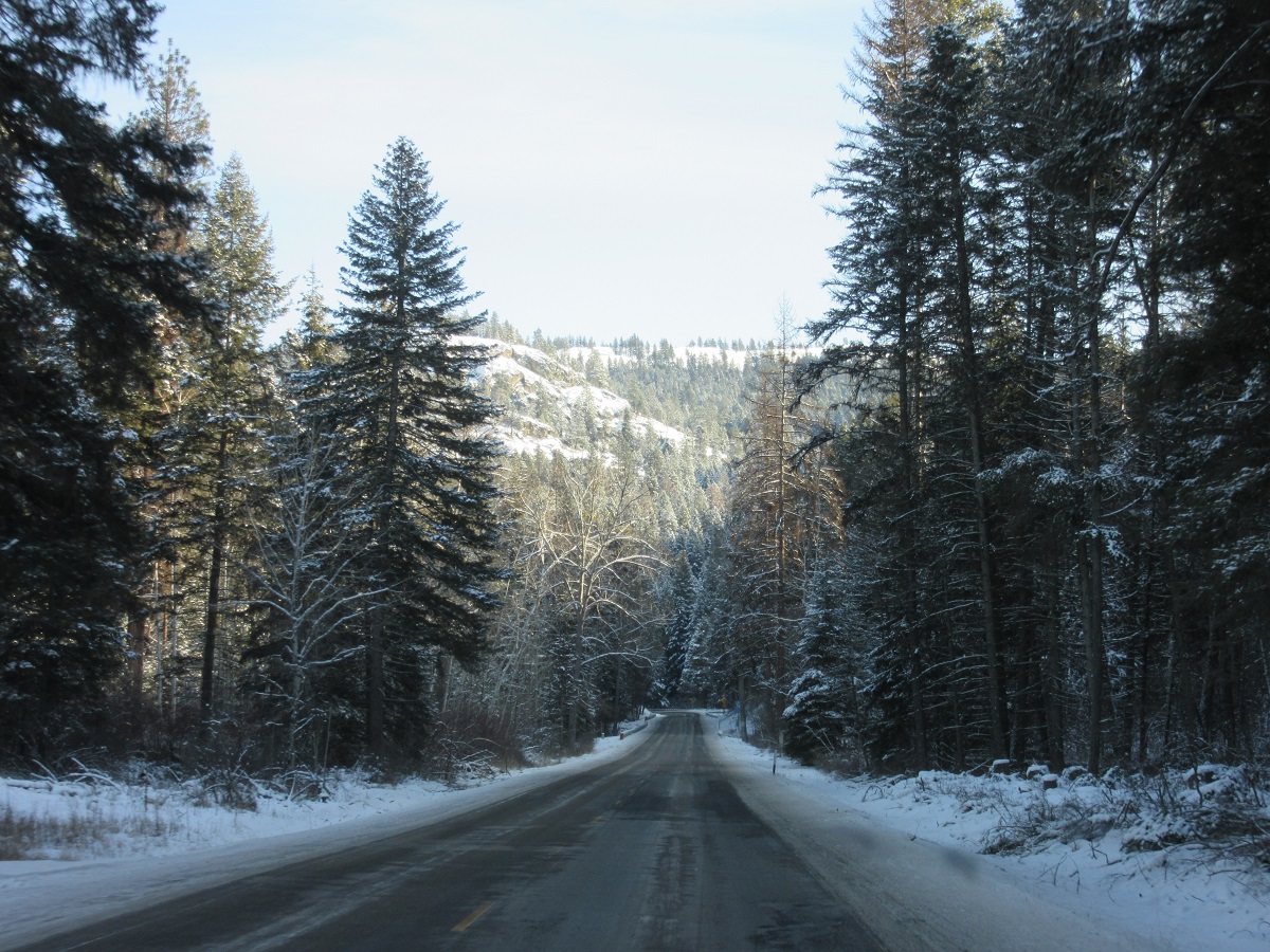
Into the woods we go!
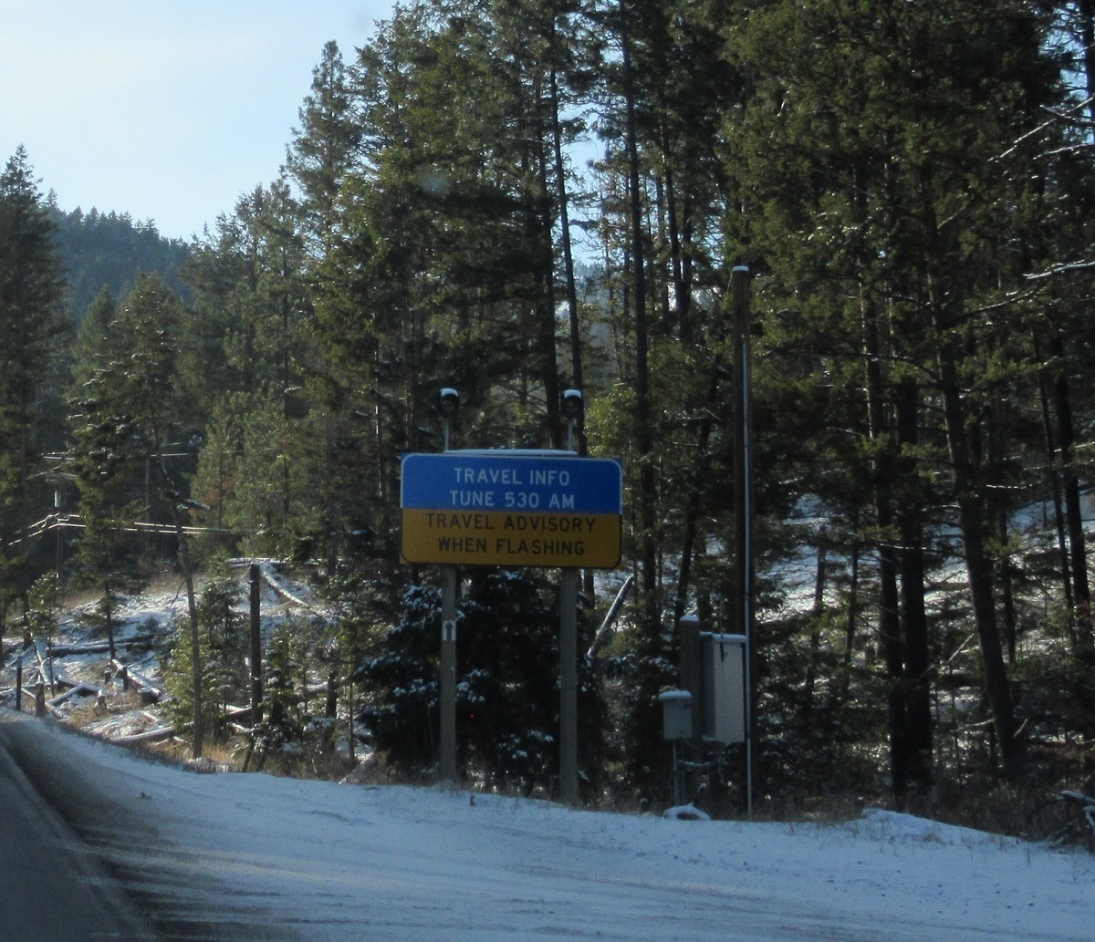
If that sign is flashing, you’d better pay attention! Ice, fog, blinding snow storms, high winds, blown down trees. It’s all part of the ride.
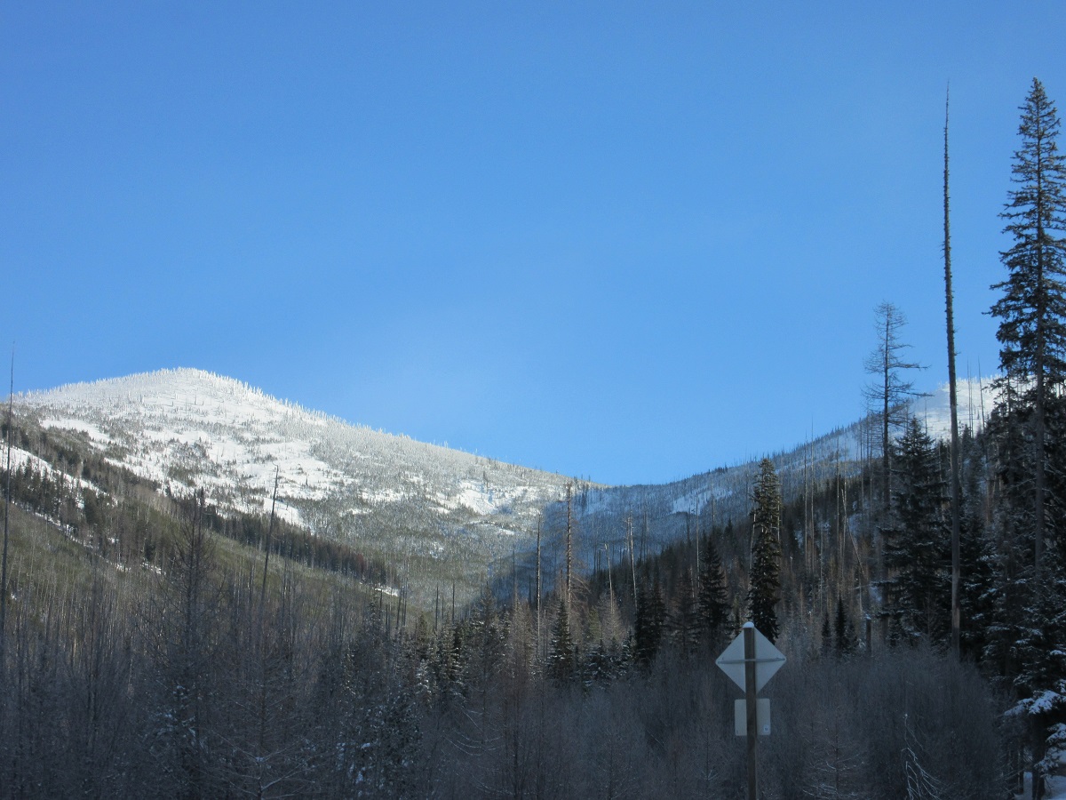
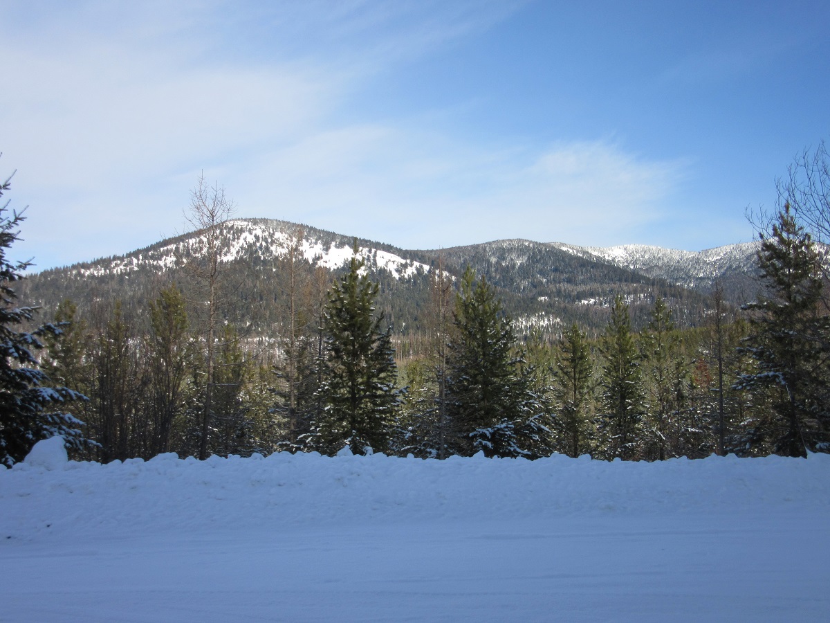
But the vistas are amazing. If you look carefully at the mountain peak you can see that it looks jagged. Those are trees. Frozen trees covered with snow and ice.

I have seen snow on these peaks through the end of June. Some times the color of light is a silver blue and words cannot describe the beauty.
Here’s another sign that is posted in many places going over the Pass. There are pull overs for slower vehicles and the law states if you have 6 cars behind you, you must pull over and let them go by. Logging trucks frequent Sherman Pass and they are heavy and chug slowly over the mountain. Getting stuck behind one of them is not a lot of fun because they do not have to pull over until a total of 6 vehicles are behind them. Some of the drivers are nice and let you by but these guys, time is money and pulling over just slows them down.

This spot is a big overlook and it is from here that I took the cover photo for this story. That’s Sparky sitting in the truck waiting for me to get my pictures!
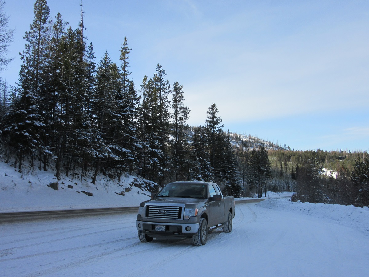
A beautiful view awaits you around every corner!
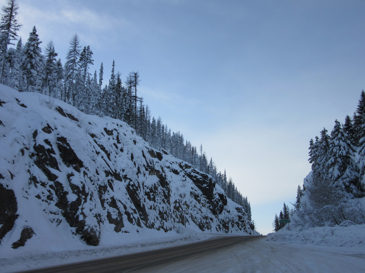
Made it to the Summit! Bedrock on either side of the road. I love how the snow plays against the dark rock really letting you know how rugged the terrain is up there.
We have hiked the Kettle Crest and I even lived to boost about it. A popular hike in all 4 seasons, but in winter you better be more than prepared! The rewards are of course, the jaw dropping views and the wildlife.

This is the information sign at the Summit. If you look at my Journey Girl page cover, that’s what it looks like sans snow. Winter is harsh to say the least.
Just past the Summit as you start heading down is this sign. Only ignore it if you want to die. Yep…this one’s a real doozy!

Here we gooooooo!
The road heading Southeast and down hill is a bit less curvy but it still has all the snow as the west side of Sherman Pass.

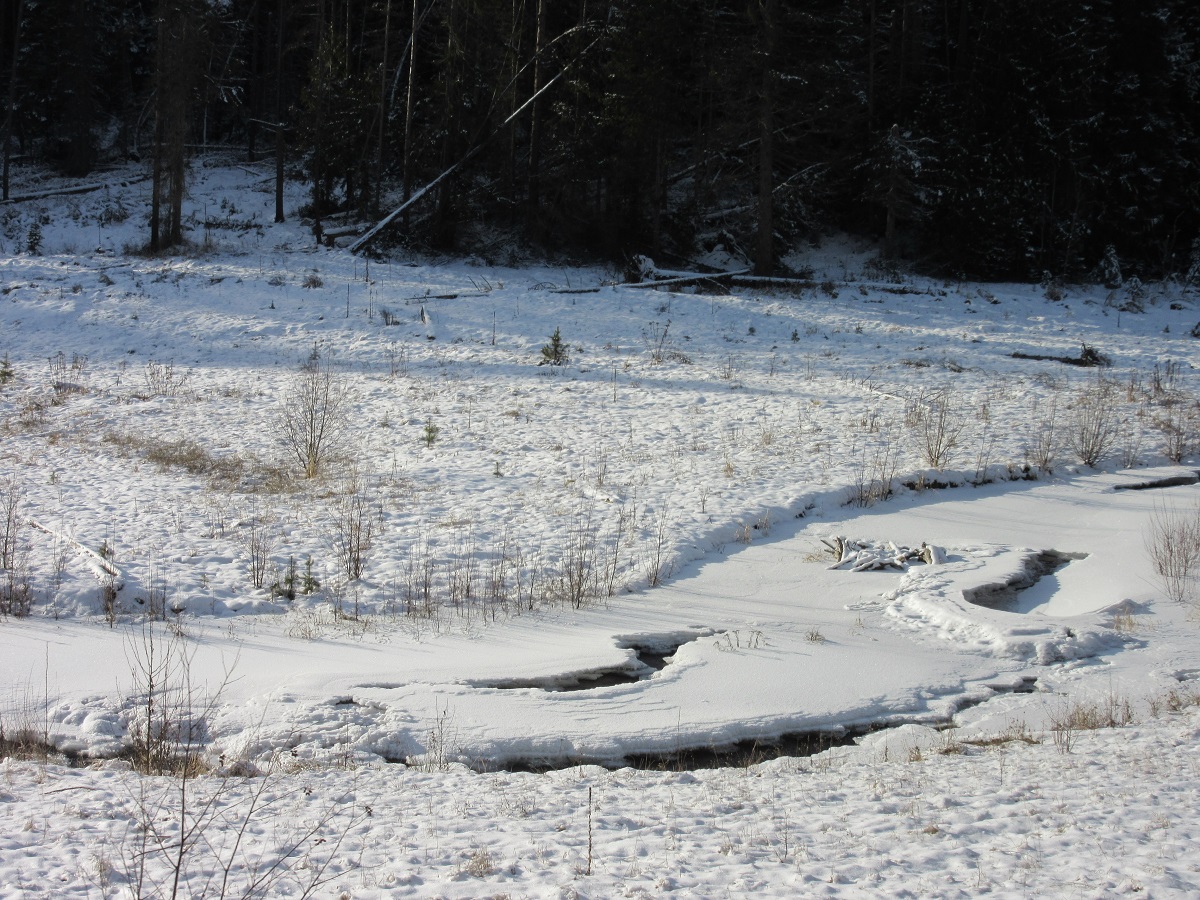
Down ways is a lovely valley with this beautiful stream running through it. 3 years ago I watched a black bear frolicking in this creek. Very entertaining!
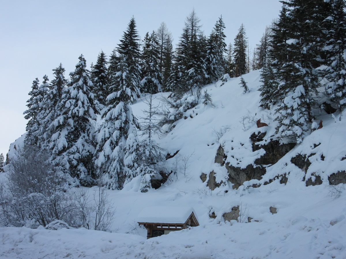
The creek runs through an old CCC Camp – Civilian Conservation Corp. Back in the 1930’s, the CCC put lots of young men to work building infrastructure for parks. Here, the men built a dam. Coming out of the Great Depression, the CCC was able to put food in the mouths of hungry, willing workers!

A CCC Camp named “Little America.” Look around our National Parks and Forests and you can still see stone buildings these young men built.
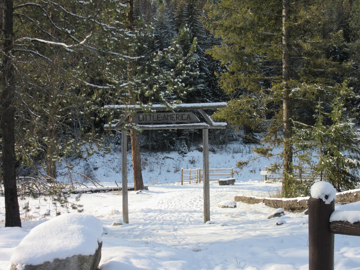
This is a Memorial to the men working here. Those are iron work boots set on that boulder. I dwell on this a bit because my Dad was CCC worker. He planted acres and acres of pine trees in Alabama. That work fed and clothed him when opportunities were few.

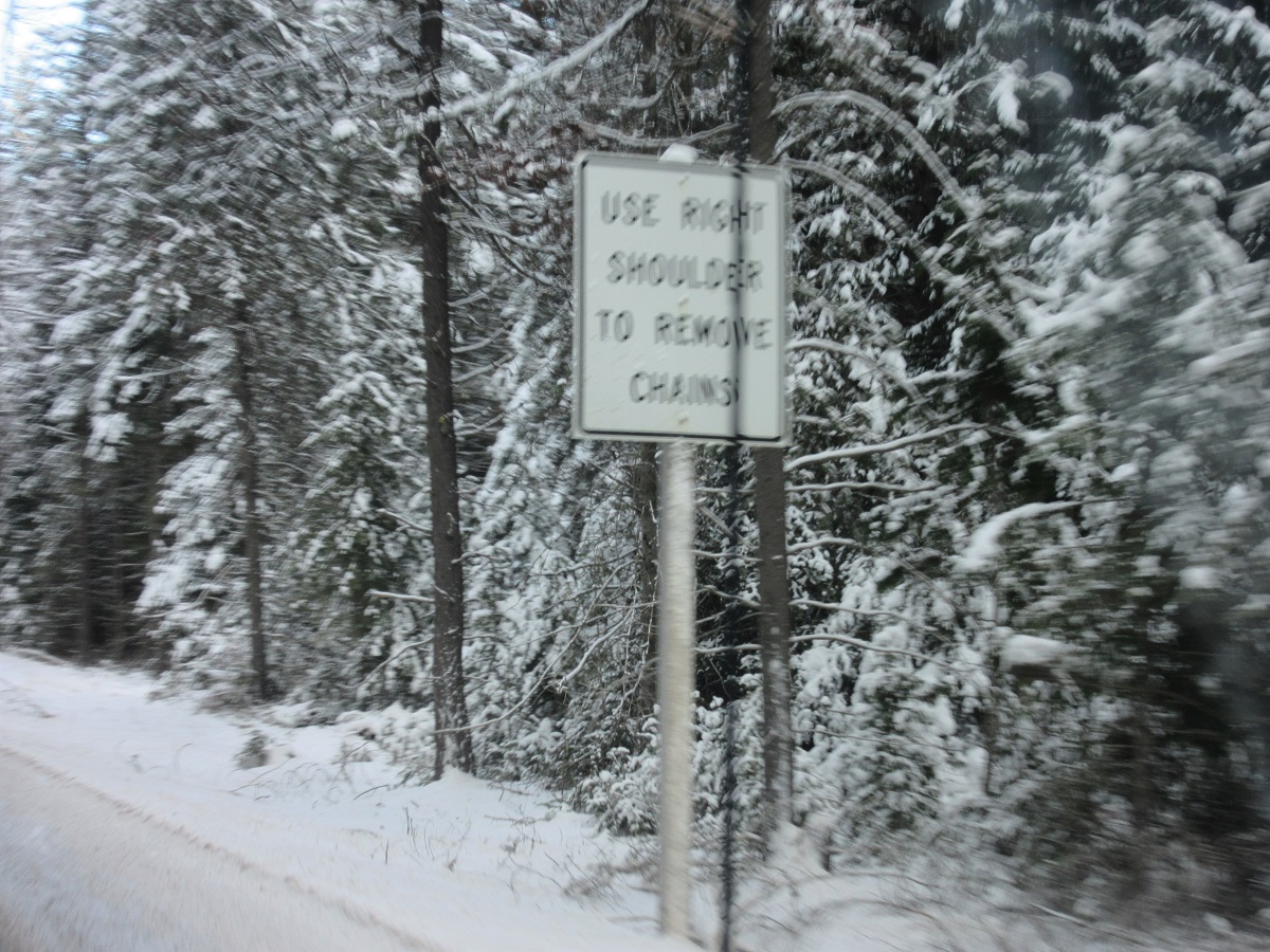
Oh…and did I mention tire chains? I guess I forgot. No one is prohibited from using them, but if your vehicle is over 10,000 pounds, you must have tire chains. Studded tires are commonplace up here and never a bad idea!
Even with all the grandeur of the mountains and the outstanding vistas, there is just something about these wandering half frozen streams that I find so alluring.

Driving on down, we are now much closer to Kettle Falls than we are to Republic. BTW….Kettle Falls used to be in a different location and it had a “Falls.” The town was moved and the Falls were lost with the building of the Coulee Dam on the Columbia River. Electrical Power that made life so much easier for many, many people and industry, came at the price of huge losses for Native American culture.

And yes, the climate on the East side of Sherman Pass is much milder than the Republic side. Just location and elevation make a huge difference.
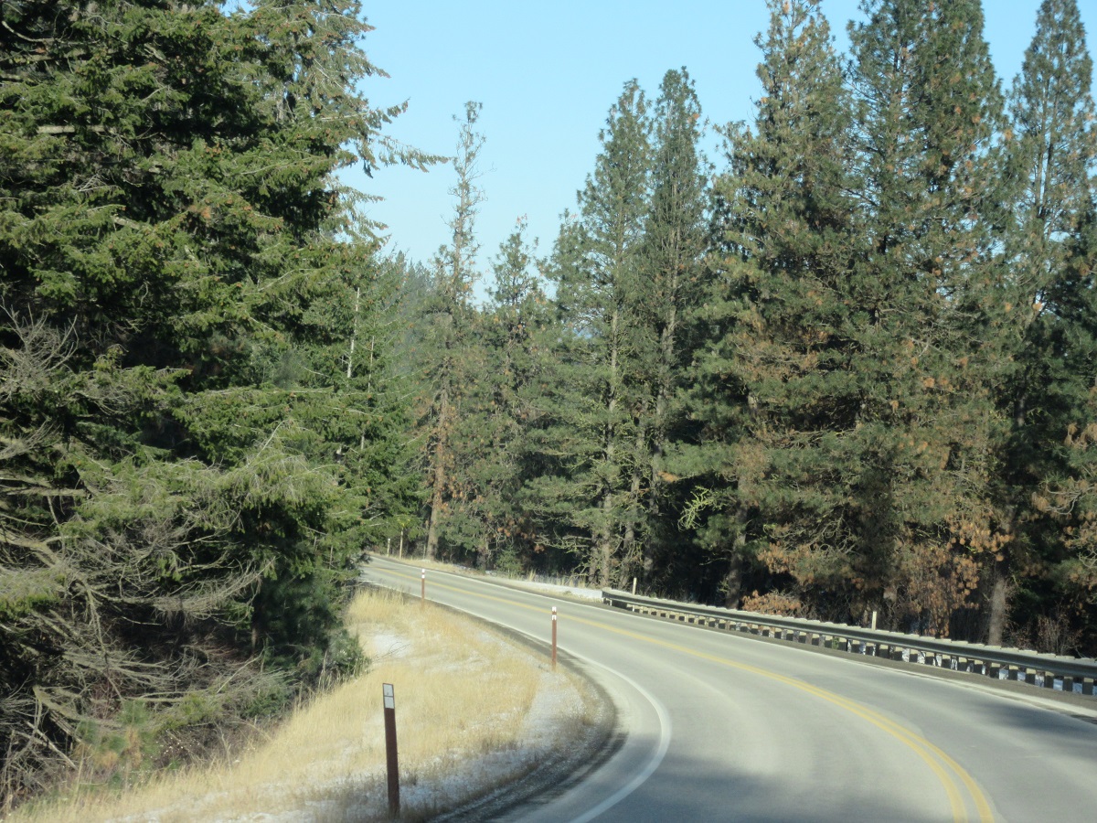
Yes indeed. This is the same road on the same day! Sometimes, we are very happy to see dry pavement!

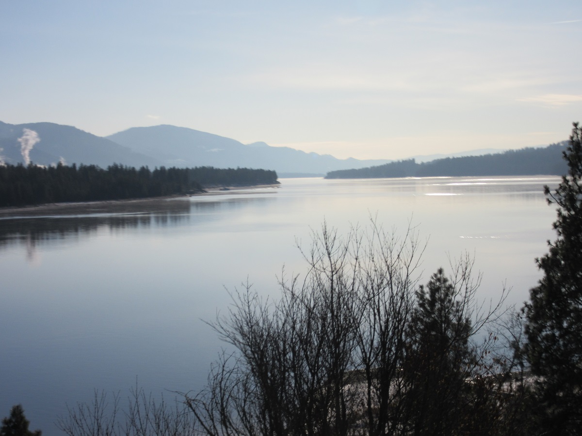
The last few miles coming off the Pass run alongside the mighty Columbia River. When we arrive at the bottom of Sherman Pass at a crossroads called Barney’s Junction, there is a Stop Sign. We turn right there and cross the bridge over the Columbia River and finally arrive in Kettle Falls. I will never, ever, ever tire of this view! From there it’s another 7 miles to Colville and Wallyworld.
And this my friends, is another page in the chapter of the book that is my life.
Thank you for stopping by on this 1st day of 2017!
Wherever you journey leads you today, I hope you will always find beauty in the world you live in.
Journey On!
Hugs and much love from me,
Karen, TJG
Karen, As always great writing and great pictures. Such a beautiful state. Happy New Year my friend.
Happy New Year Sharon!
Thank you for your support and comments.
Hugs,
Karen, TJG